

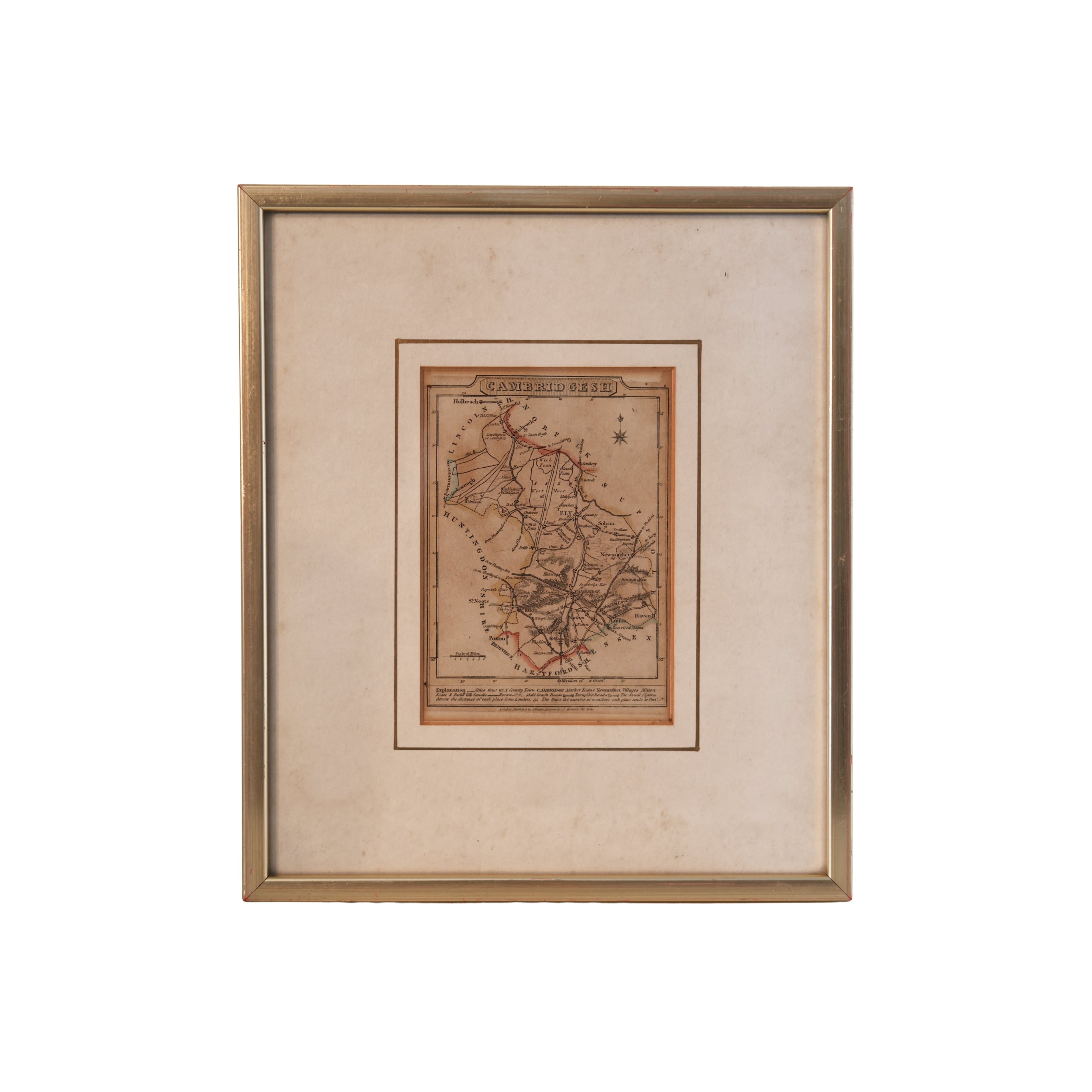
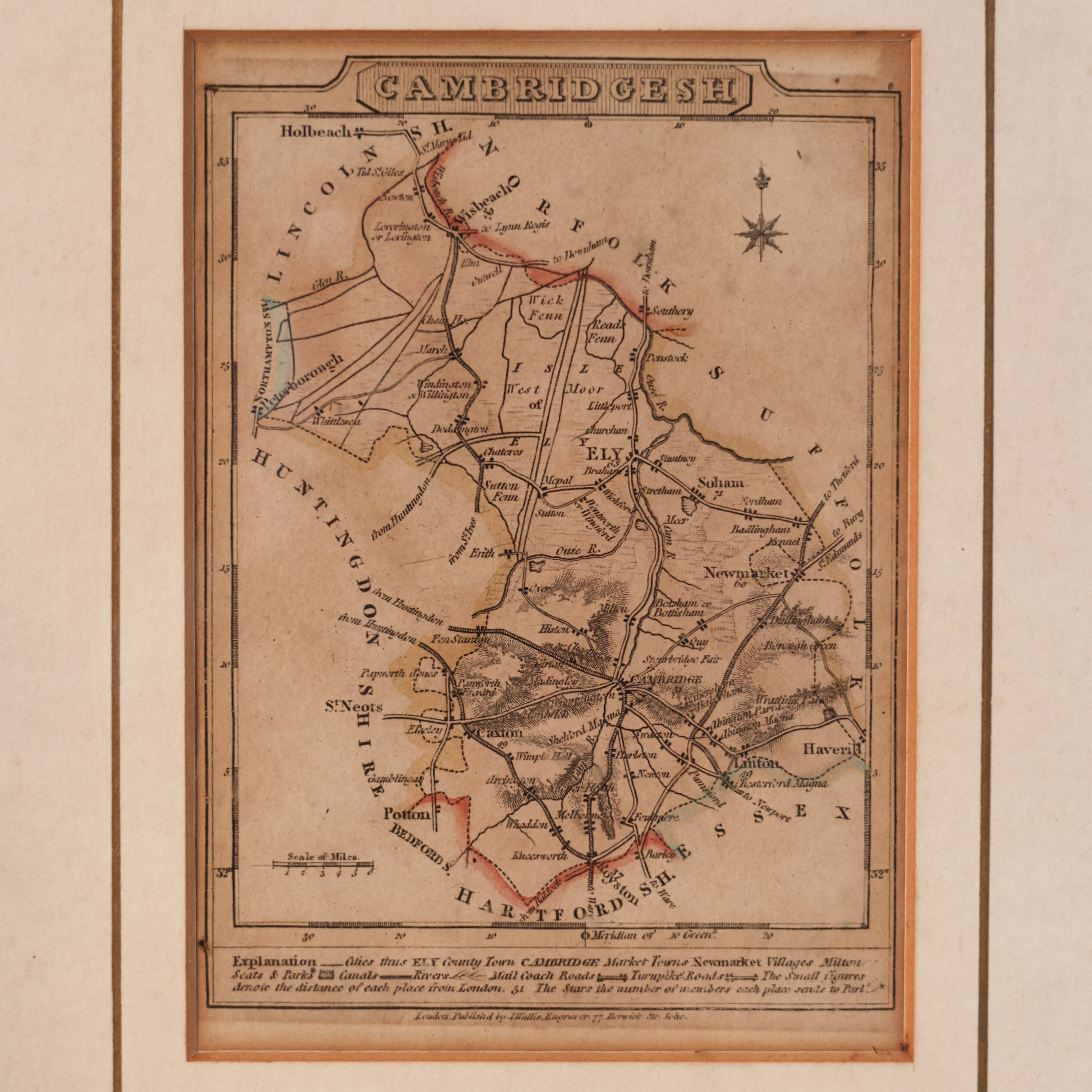
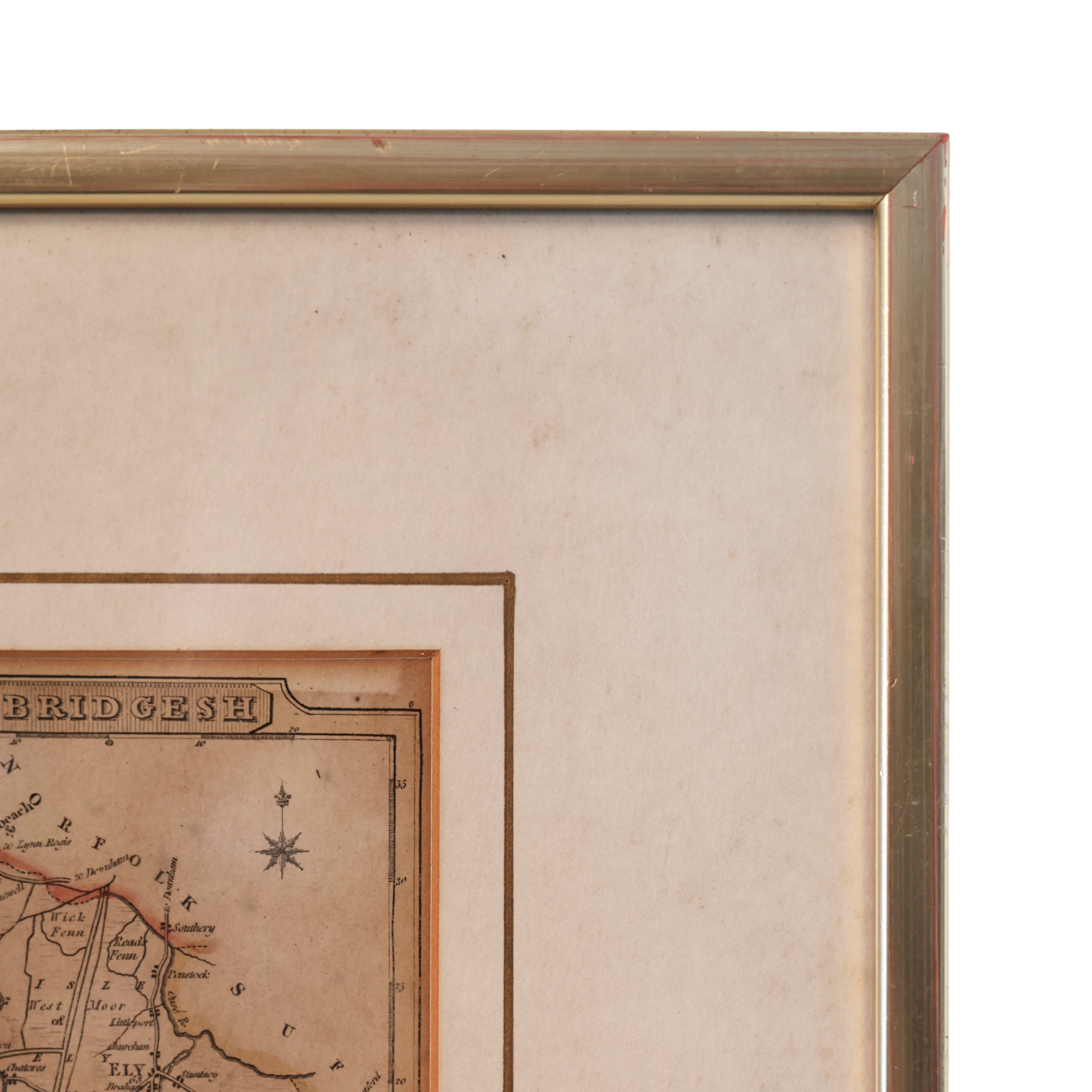
c. 1812 Engraving Map of Cambridgeshire, England
An early 19th-century engraved map depicting Cambridge and the surrounding region, including nearby towns such as Newmarket, Royston, and Huntingdon.
Published in London by Baldwin, Cradock & Joy of Paternoster Row, the map dates to circa 1812 and reflects the detailed topographical style of the period. The engraving features finely rendered roads, settlements, and landscape elements, with hand-colored boundary accents adding visual distinction.
The map was likely issued as part of a larger atlas or geographical work, typical of early 19th-century English cartographic publishing.
Origin: London, circa 1812.
Publisher: Baldwin, Cradock & Joy.
Subject: Cambridge and surrounding region
Dimensions: Approx. 9.5" W x 11" H.
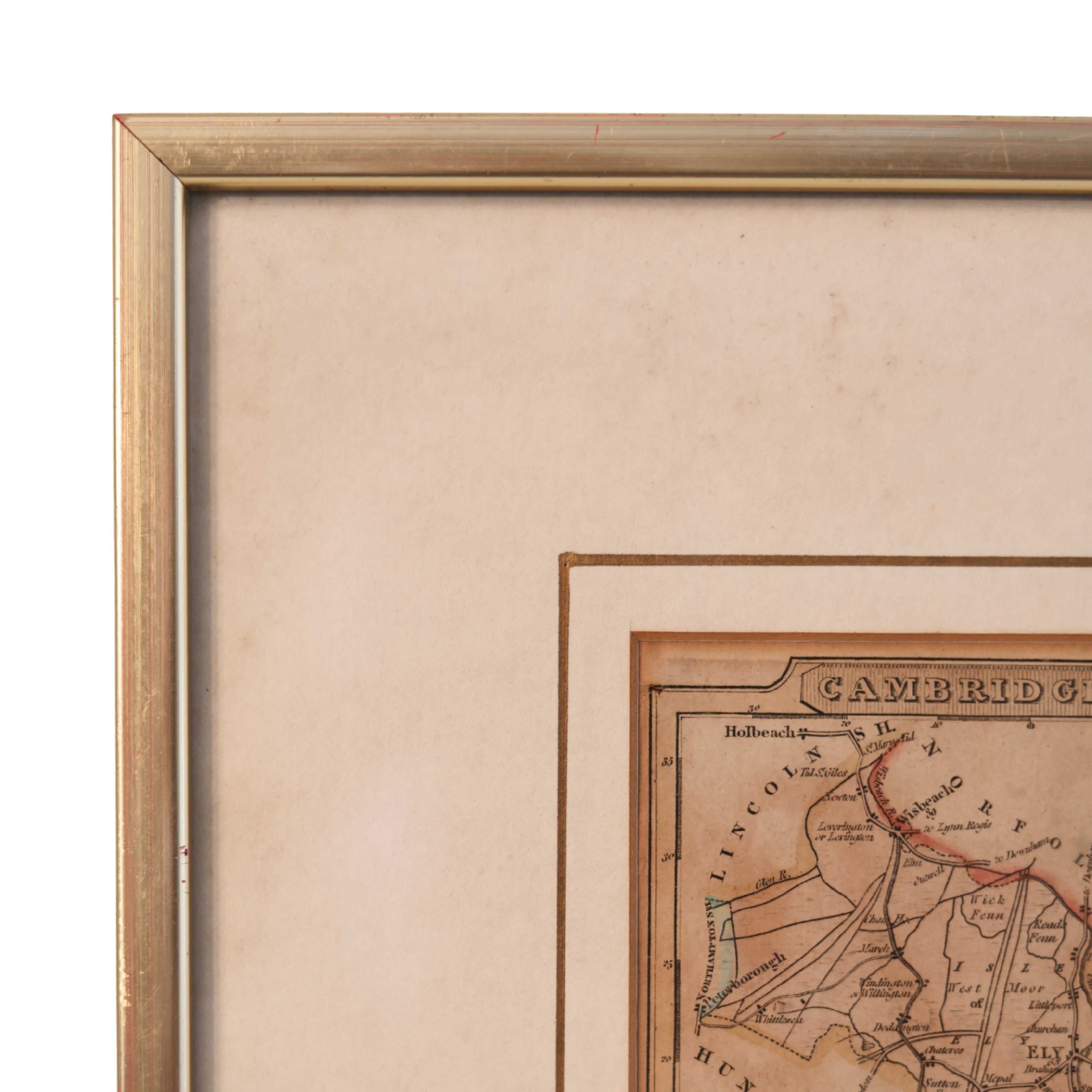
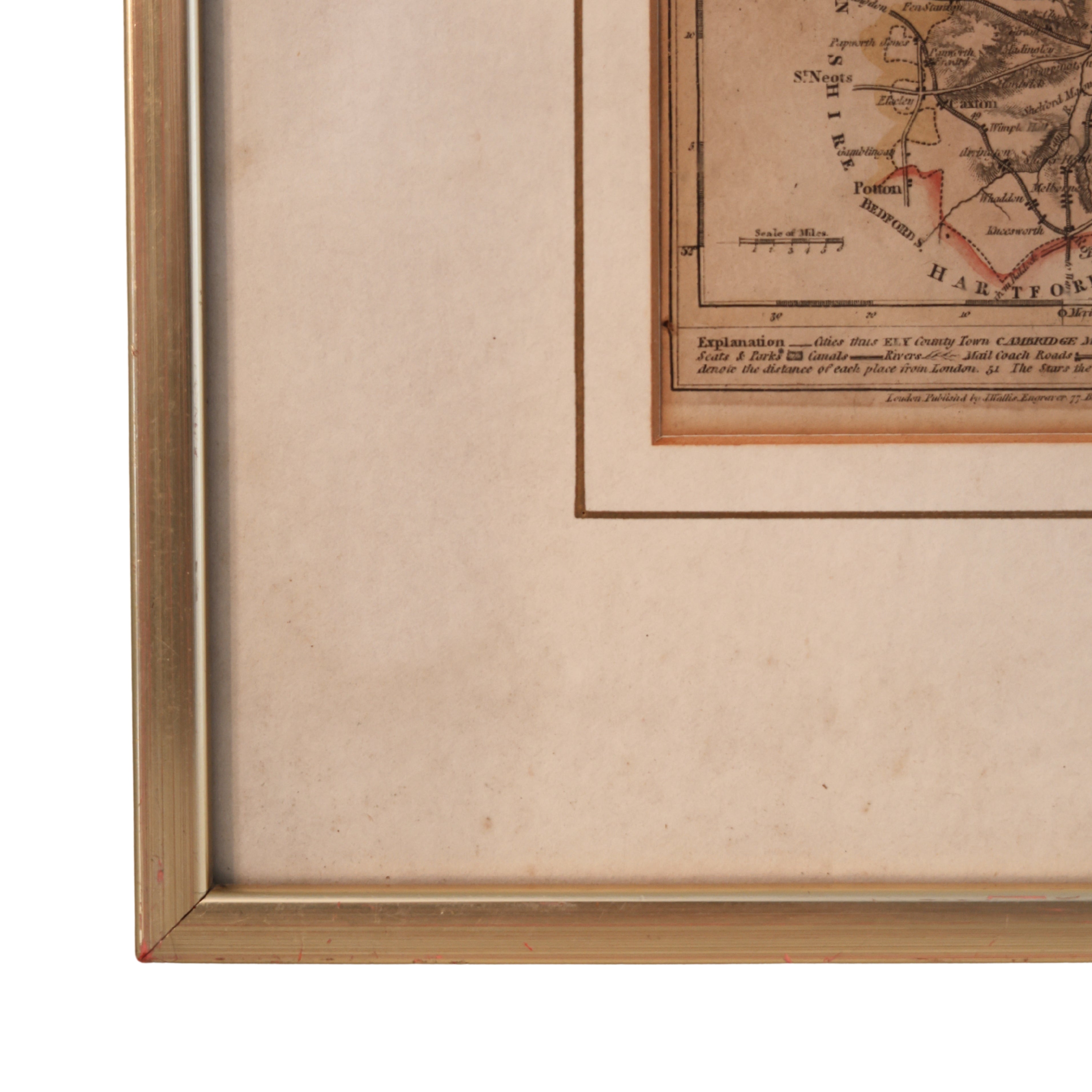
Condition: Wear consistent with age including toning, light foxing, and expected edge wear; well-preserved with clear engraving.
Disclaimers
As our pre-owned vintage and antique items have withstood the test of time, imperfections and signs of age will most likely be present.
Any notable or above standard signs of wear will be disclosed in the item description. While we strive for accurate descriptions, we ask that you review the images carefully and contact us for more information if you have any further questions.
Due to the nature of our items, returns will not be accepted. All sales are final.
Shipping
Shipping cost is dependent on the travel distance, weight/dimensions once packaged, as well as handling time and packing supplies.
Shipping time is estimated at 2 weeks from the date of payment. Tracking numbers are provided via email once parcels are scanned in with the carrier. Items will be shipped using USPS or UPS.
Shipping note: All paintings and large artwork are shipped separate from other items and will not calculate in combined shipping cost.
Do to the nature of our items, returns will not be accepted. All sales are final.
Read more about our shipping policies here.

Choose options

You're invited.